Atmospheric River
Atmospheric rivers are a welcome event in Southern California. This is what the charts looked like on January 12, 2017 at the end of a week of heavy precipitation.
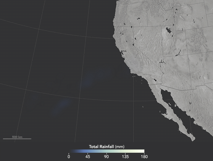
This article on the Earth Observatory site explains how they form and has an animation from satellite-based measurements from January 7 to January 10, 2017.
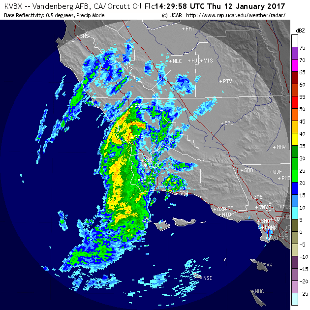
As you can see from the radar image on the morning of January 12, 2017, they are widespread and vary in intensity. When this snapshot was taken, there were no intense red areas, but they frequently occur in these storms.
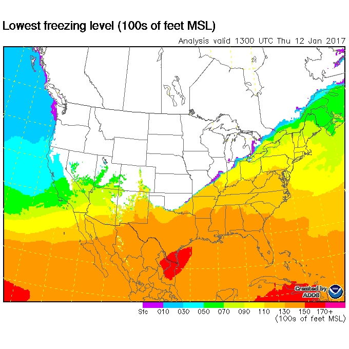
Because warm south Pacific air is meeting up with a cold front,the freezing levels are fairly high for a winter storm, especially as contrasted with a storm that originates in the Gulf of Alaska.
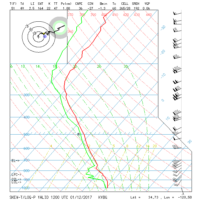
Here’s the Skew-T Log-P diagram if you are into that kind of thing.