Lenticular Clouds
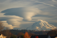
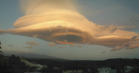
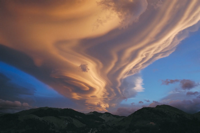
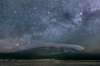
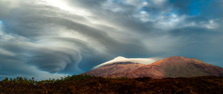
Lenticular clouds form in the lee of mountains. They are associated with extreme turbulence—even as they look very pretty. Below are some examples I’ve been collecting. NASA’s APOD has lots more.
They also have a time lapse of the formation of lenticular clouds.
13.4.2.1.1 Altocumulus Lenticularis. Altocumulus Lenticularis, commonly known as Altocumulus Standing Lenticular (ACSL), are an orographic type of cloud. They often appear to be dissolving in some places and forming in others. They also often form in patches in the shape of almonds or wave clouds. These formations are caused by wave motions in the atmosphere and are frequently seen in mountainous or hilly areas. They may be triggered off by hills only a few thousand feet high and may extend downwind for more than 60 miles (100 kilometers). The cloud elements form at the windward edge of the cloud and are carried to the downwind edge where they evaporate. The cloud as a whole is usually stationary or slow moving. These clouds often have very smooth outlines and show definite shading. The ACSL clouds indicate the position of the wave crests, but they do not necessarily give an indication on the intensity of turbulence or strength of updrafts and downdrafts. This is because the clouds depend on both lifting and moisture. A well-defined wave may be visible (i.e., ACSL cloud) in weak updrafts where there is an adequate supply of moisture, but may not be visible when the environment is very dry, even if the wave is intense. AC 00-6b Aviation Weather
6.7.4 Both vertical and horizontal wind shear are, of course, greatly intensified in mountain wave conditions. Therefore, when the flightpath traverses a mountain wave type of flow, it is desirable to fly at turbulence-penetration speed and avoid flight over areas where the terrain drops abruptly, even though there may be no lenticular clouds to identify the condition. AC 00-30C Clear Air Turbulence


